Powys Moorlands Partnership Summary for EKN
Final Evaluation & Mapping Data
- Spatial Data
- Project Extent
- Project Activities
Project Extent Summary
Jobs Created
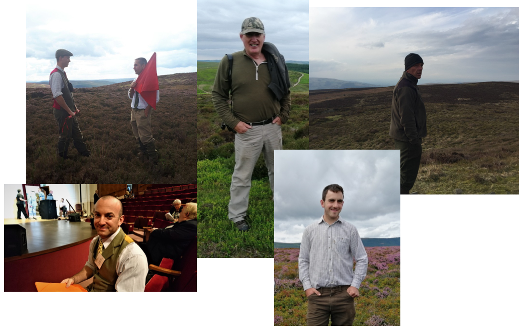
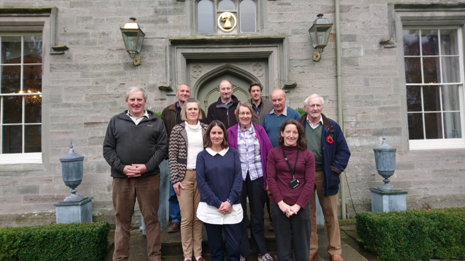
Steering Group
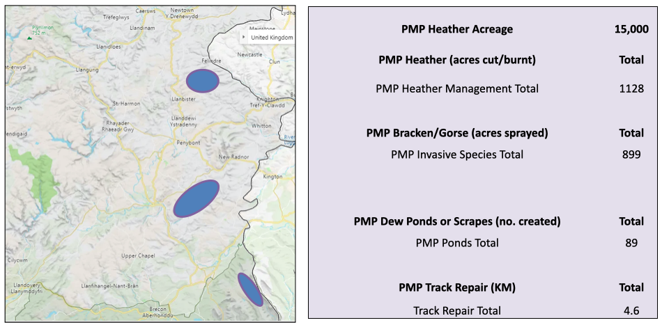
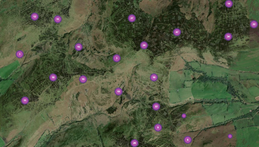
Spatial Data
https://five.epicollect.net/project/pmp-habitat/data
Each purple circle represents habitat works (pools, heather cutting, bracken or gorse spraying and track repair)
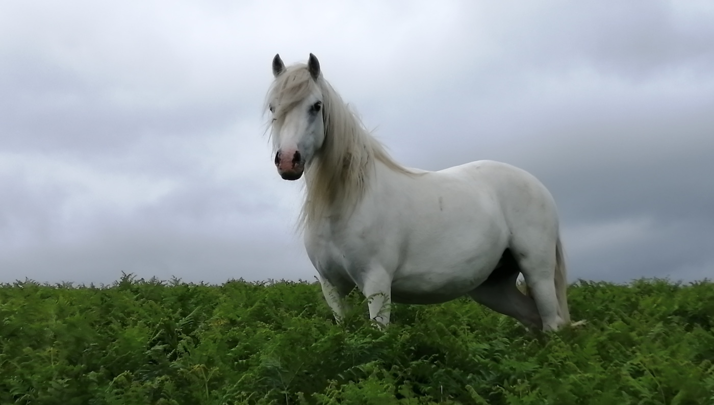
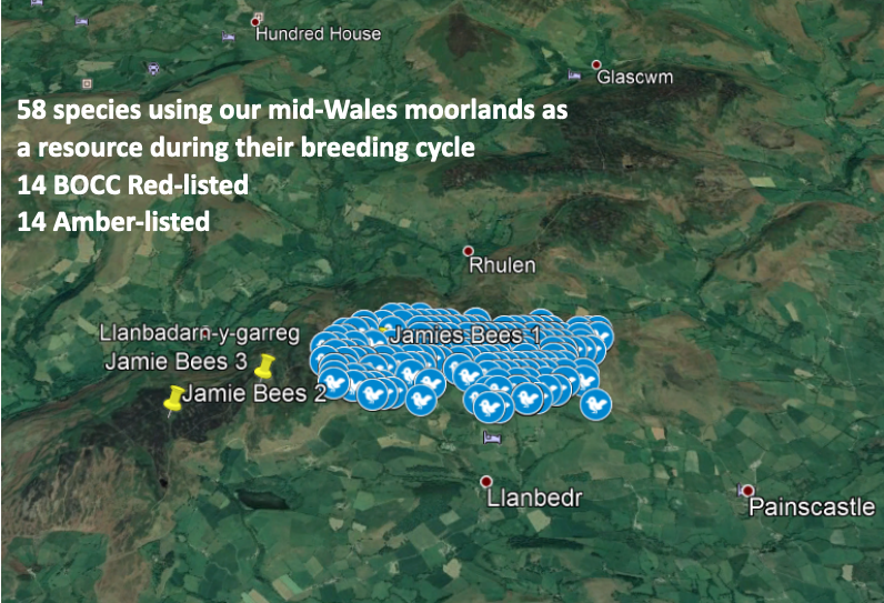
Biodiversity
Each blue circle is the location of a bird observation during transect counts 2018-2020
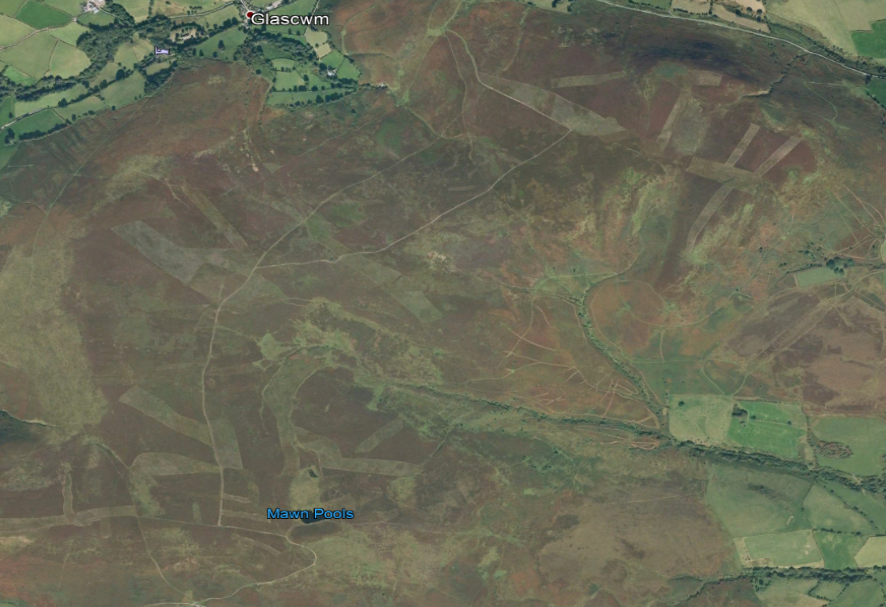
Ireland Moor 2020 – mosaic of heather habitat
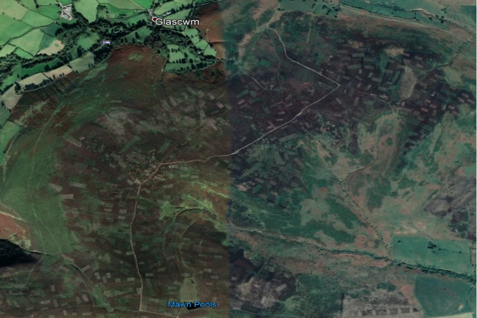
Ireland Moor 2006 – overgrazed with too few heather cuts/burns